Words and pics contributed by Phil
Sixteen people and a delightful dog named Taschi joined me on this walk through and between some of the villages lying close to the increasingly developed north-eastern fringe of Ipswich. The route would in fact be more accurately described as a lollipop rather than a true circuit, but this hardly matters because we nevertheless succeeded in ending where we had started.
Always mindful when leading a walk of the need to ensure adequate parking for a somewhat unpredictable number of cars I had called in a favour and arranged for us to have sole use of the car park adjacent to the Martlesham Heath Aviation Society Control Tower Museum. This opens every Sunday during the summer but very conveniently had closed for the winter season the previous weekend.
It was a glorious autumn day. Although the air was a little cool the sun shone brightly and for most of the walk it felt quite warm, especially when moving.
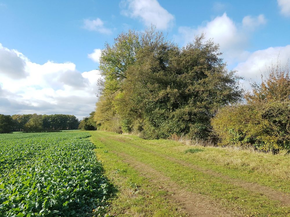
We began by walking along what was once the perimeter track of RAF Martlesham Heath and into Portal Woods, where we passed the site of the old airfield fuel tanks before emerging into Portal Avenue. We then joined the A1214 and having crossed over it, proceeded to walk roughly northwards along a permissive path lying between the A12 and the eastern side of the Martlesham Park & Ride site. This segment of the walk was of course far from tranquil, but we soon emerged into the relative peacefulness of fields lying to the south of Martlesham Road. The path crossed and then followed a babbling brook, and we began the ascent to the road which runs along the southern flank of Beacon Hill. A short walk along the road then brought us to the next footpath which led to the level crossing in Little Bealings, from which we followed The Street through the centre of the village in order to reach the village hall and the play area behind it. We then followed footpaths across fields and meadows to the junction of Boot Street and Hall Farm Road, observing the timeless beauty of St. Mary’s Church, Great Bealings, through the trees in their autumn colours as we did so.


A short walk along Hall Farm Road and over the road bridge led us to a footpath which ascended Laveroch Hill to join Hasketon Road. As we walked along the road a panoramic view appeared to the left, with the roof of Mill House in Burgh glistening in the sun.
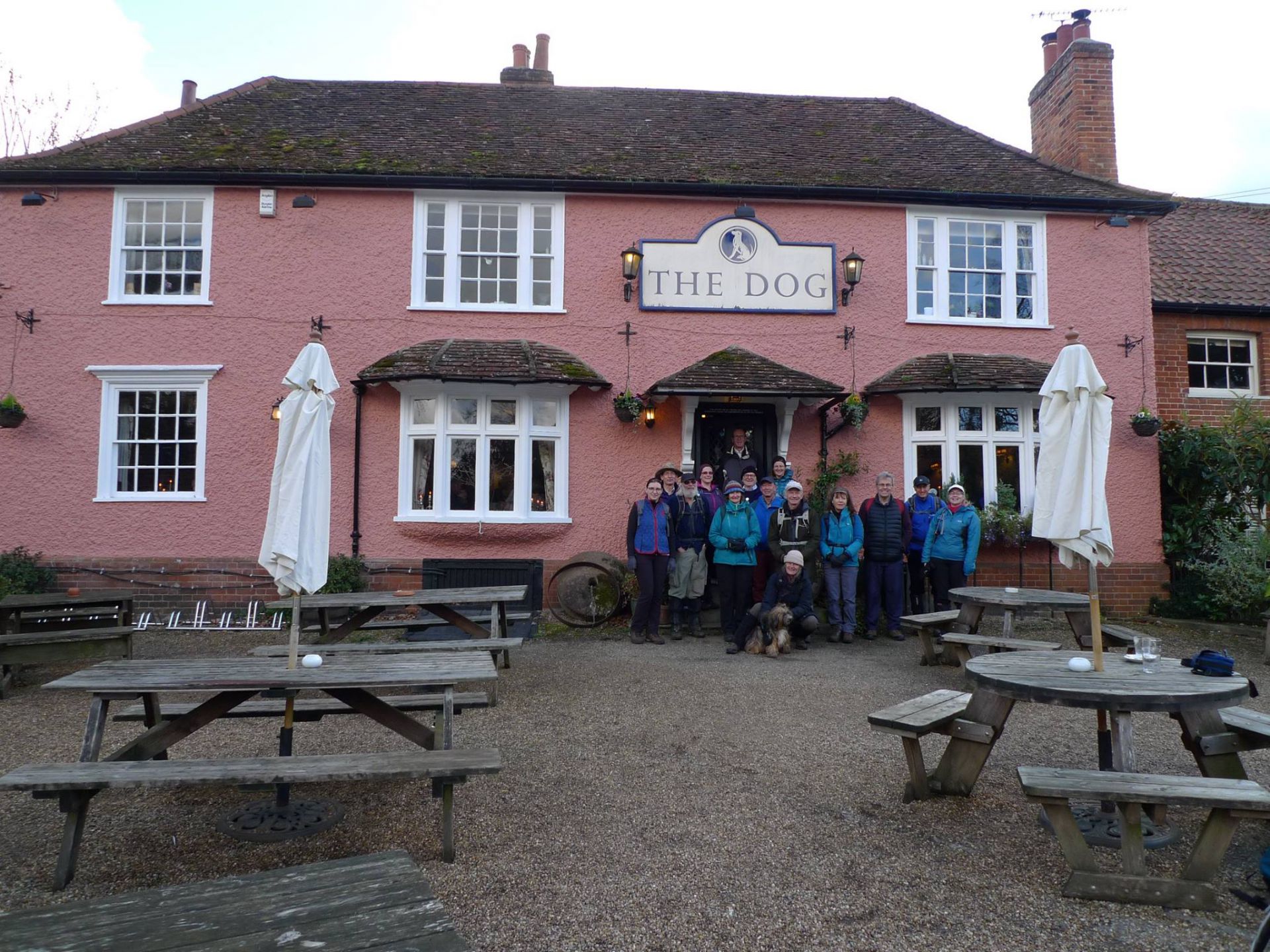
At some point Hasketon Road became Bealings Lane, and this brought us to a crossroads on the very busy B1079. We crossed the road and entered Mill Lane, from which we soon turned off onto a westward footpath which, after a short coffee break, brought us into Grundisburgh and our lunch stop at The Dog.
The centre of Grundisburgh, with the ford and St. Mary’s Church overlooking the green, is quintessentially English and very beautiful. Indeed I remarked that it looks rather like a location for an episode of ‘Midsomer Murders’. Surprisingly, a little research following the walk has revealed that Grundisburgh has already been used in a detective novel, specifically one published in 1999 by Susanna Gregory entitled ‘A Wicked Deed’. That said the scene portrayed may well have been rather different to what we see today because the novel’s chief protagonist is a character named Matthew Bartholomew, who is an investigator of murders in 14th-century Cambridge!
After our well-earned lunch break at The Dog we walked through one of the housing estates on the edge of the village in order to reach a series of footpaths that led us past the village Recreation Ground to Ipswich Road, whence we proceeded westwards along a lane before turning south along a path near Elm Tree Farm. This took us through beautiful countryside back to Ipswich Road from which we accessed another footpath that led us to Holly Lane in Boot Street.
A short walk along Holly Lane brought us to a footpath that returned us past Park Farm to Boot Street itself, from where we retraced our steps to the starting point of the walk, enjoying the dappled light cast by the bright late afternoon sun as we passed through Portal Woods.