Text contributed by Lou, pics by various (see below)
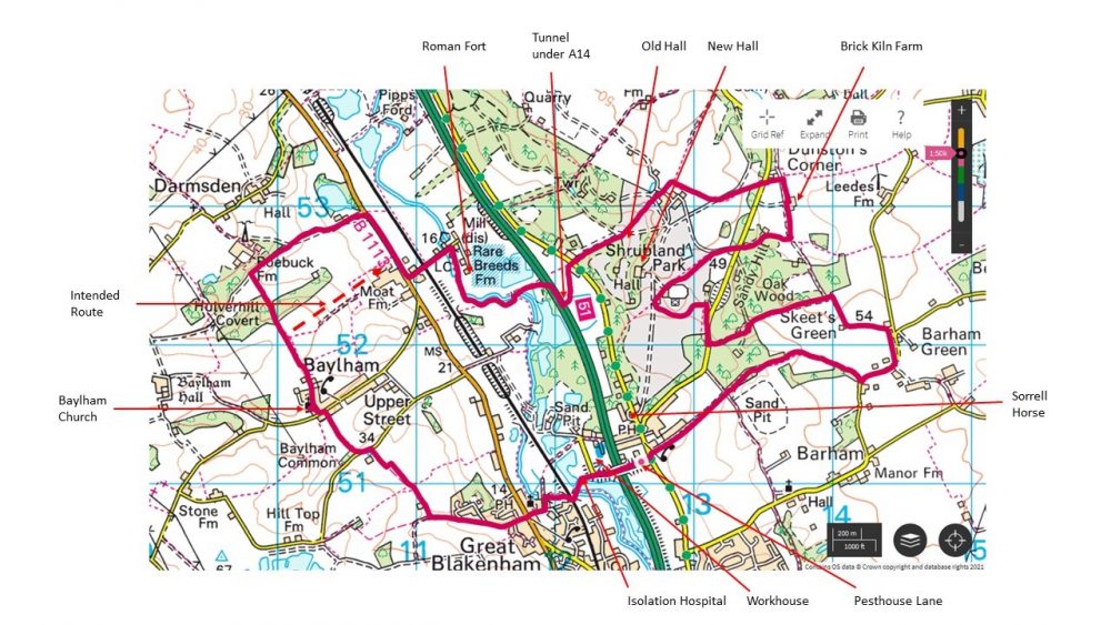
Twenty-three IOGers and a dog met at Pesthouse Lane, Barham for this walk billed as “not more than ten miles”. Maybe the attraction was the thought of walking through Shrubland Park, or possibly the tunnel under the A14, or even the promised snippets of local history. More likely the lure of the Sorrell Horse pub at the end.
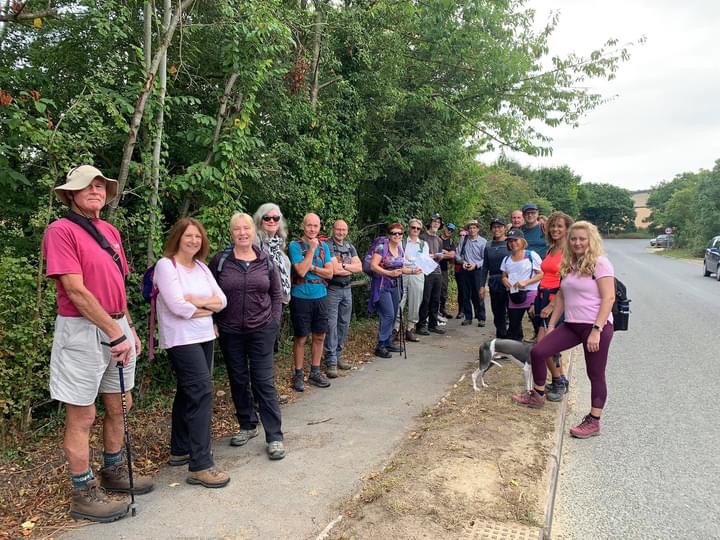
The obvious mystery to be solved was that strange name, Pesthouse Lane, but before that we stopped to view the site of the Bosmere and Claydon Workhouse, built in 1776 and finally demolished in 1963 after reincarnation as an Italian PoW camp in WW2. Charles Dickens is rumoured to have visited the workhouse, and it is one of many which lay claim to be the inspiration for his novel Oliver Twist. A separate building nearby housed an isolation hospital, hence the name Pesthouse Lane. Those of you who like to study old maps will find the National Library of Scotland an excellent free online resource. You can see the workhouse and isolation hospital overlaid on a modern satellite image in this link (adjust the transparency with the slider to see the overlay).
Forsaking the obvious riverside route, we headed up Chalk Hill Lane via Devil’s Grove to Baylham Church for our first break. What wonderful names, Chalk Hill is fairly obvious but what could be the origin of Devil’s Grove? I have been unable to find out.
Refuelled, we continued along a field where we enjoyed a view across the Gipping Valley to Shrubland Park and the Hall. I continued a bit too far, missing a turning, but would have got away with it if I hadn’t mentioned it.
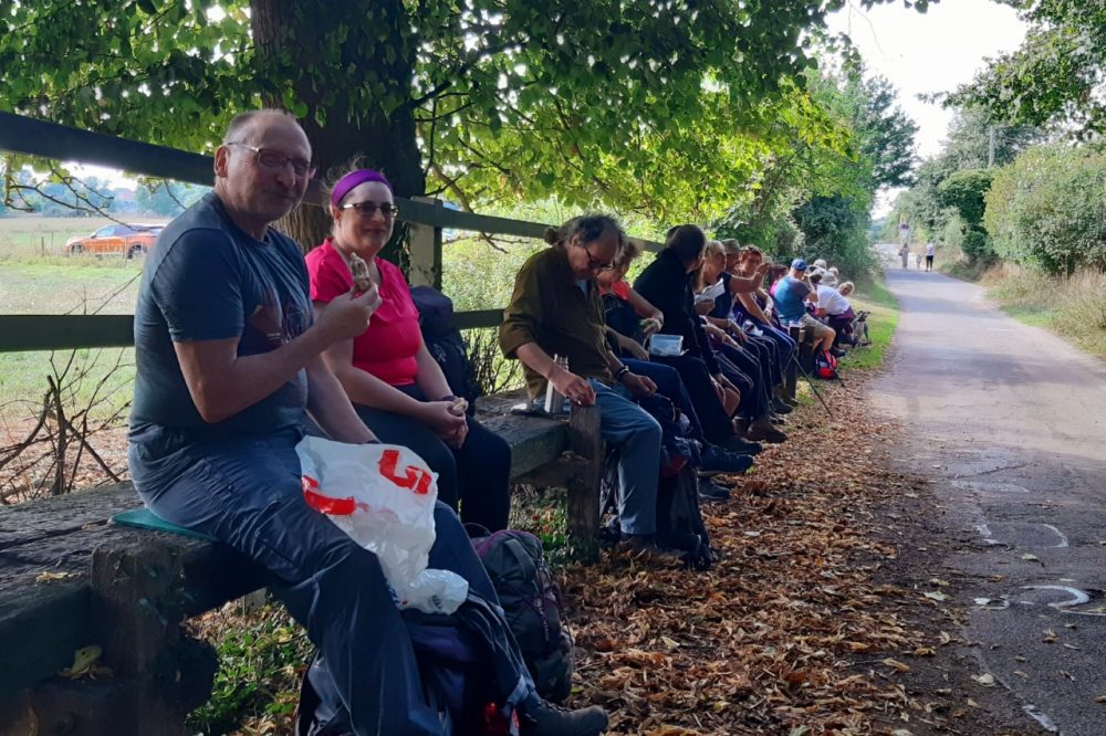
Back on track, we headed towards Baylham Rare Breeds Farm and perched on the boardwalks for our lunch. The farm is back open for business and a steady stream of visitors passed us. I wonder how many of them knew that the farm is built on the site of a Roman fort, Combretovium, and the confluence of 5 Roman roads. Did you ever wonder why the A140 road doesn’t go in a straight line to Ipswich? It’s because it came here to Combretovium. We failed to find any evidence of the point where the Roman road to Colchester crossed the river Gipping. I think it would make a good project if that were to be reconstructed.
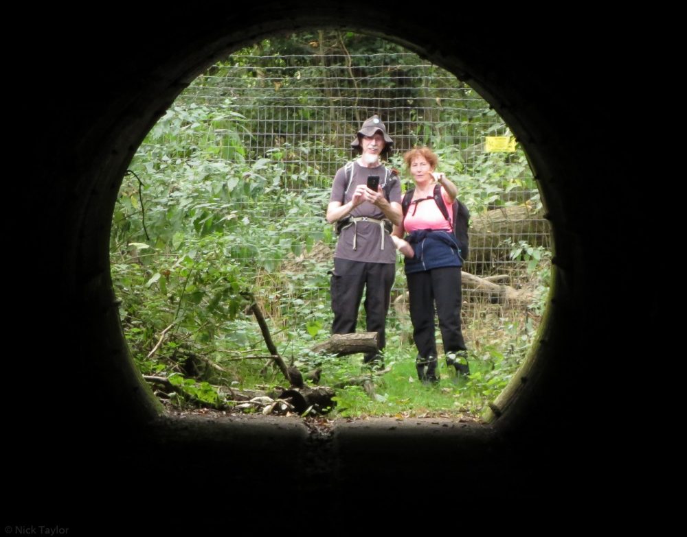
The tunnel under the A14 is a very useful way to avoid getting run over whilst trying to cross the road as indicated by the path on the OS map. A permissive path is sign posted clearly on the Baylham side, but it’s a bit tricky to find from the north side if you don’t know where it is. I have added it on OpenStreetMap.
At last, we entered Shrubland Park next to the sawmill. Taking care not to disturb any adders, we followed the path up past some ancient sweet chestnut trees towards the farm and the site of the Old Hall. All that remains of it is the Chapel, which can be partly seen through some trees. We turned right and continued to another tree-lined avenue which framed Hemingstone Church in the distance. Crossing the Coddenham Road (Sandy Lane), we found sustenance at Brick Kiln Farm, which is now a luxury spa and sells food and drinks at the café. With the sound of clay pigeon shooting nearby, we walked through the Molecatcher’s cottage garden, recrossed Sandy Lane and re-entered Shrubland Park for our second pass. This took us past the walled garden (looking in a very sorry state), a partial view of the New Hall (also said to be in a sorry state), and the Russian Lodge (looking a lot better after recent refurbishment). It’s a shame that the hall is not being used currently. A spell as a luxury hotel didn’t last long and it has fallen into disrepair in recent times. The park is still lovely though, and I often walk the paths there.
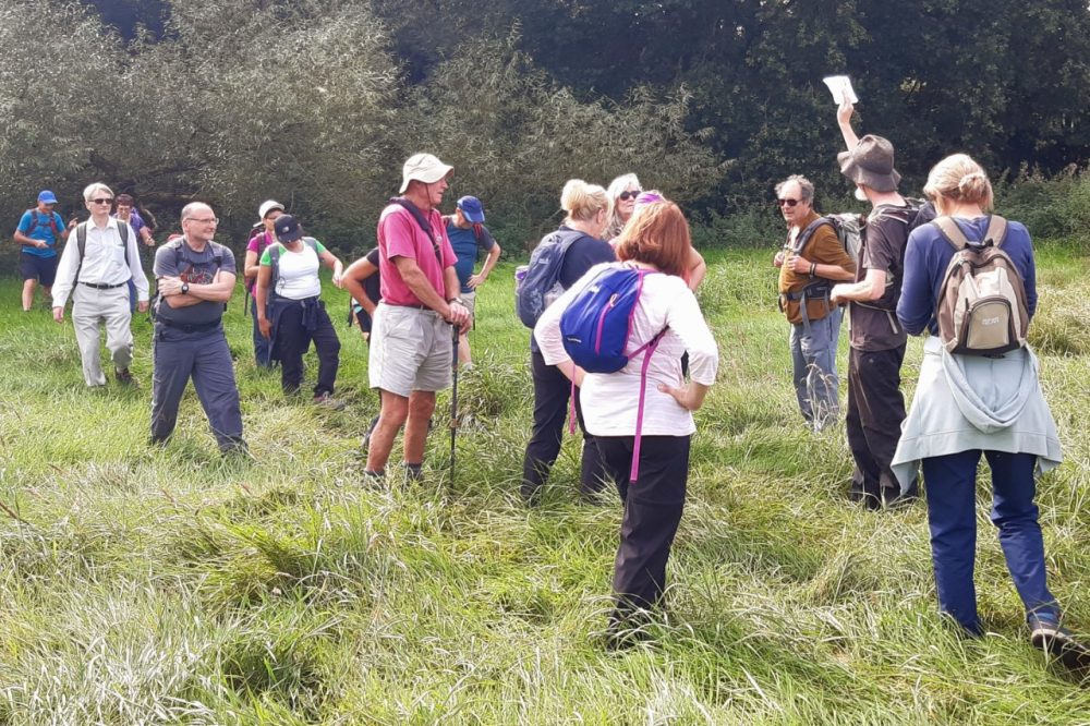
At the 7.5 mile point, I offered people the choice of a half mile short-cut to the pub, and was quite surprised when everyone opted for an extra 2 mile loop via Barham Green. Thus it was that our walk ended as some people were saying that the ten mile mark had been passed. On examining my GPS track however, I was pleased to see that we had just scraped in at 9.97 miles.
A very enjoyable day out, and some local history duly delivered.
This route is available as a .gpx file.
The file is compressed and in .zip format.
Download the file and open it in your preferred navigation App.
